Log in
All resources
Create a design
461 Free Artworks of Maps Atlantis
maps made in the 17th century
maps made in the 18th century
atlantis magni tomus quintus (biblioteca comunale di trento)
atlantis magni tomus quartus (biblioteca comunale di trento)
atlantis magni tomus primus (biblioteca comunale di trento)
atlantis magni tomus secundus (biblioteca comunale di trento)
jan janssonius
johann baptist homann
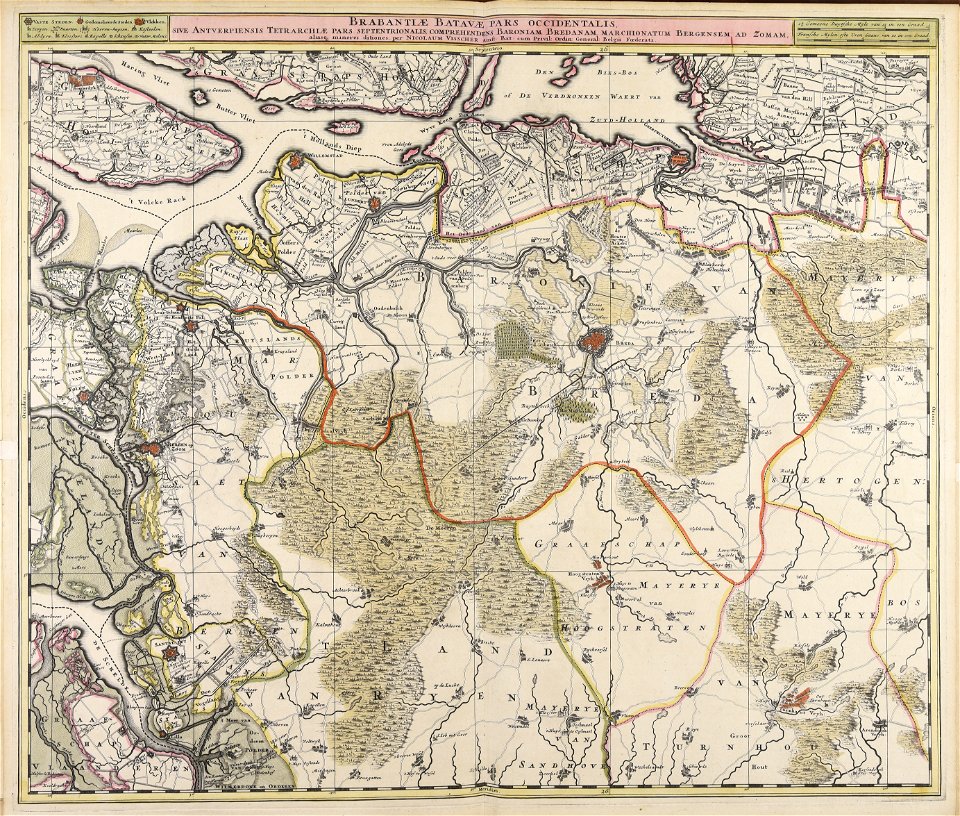
nicolaes visscher ii
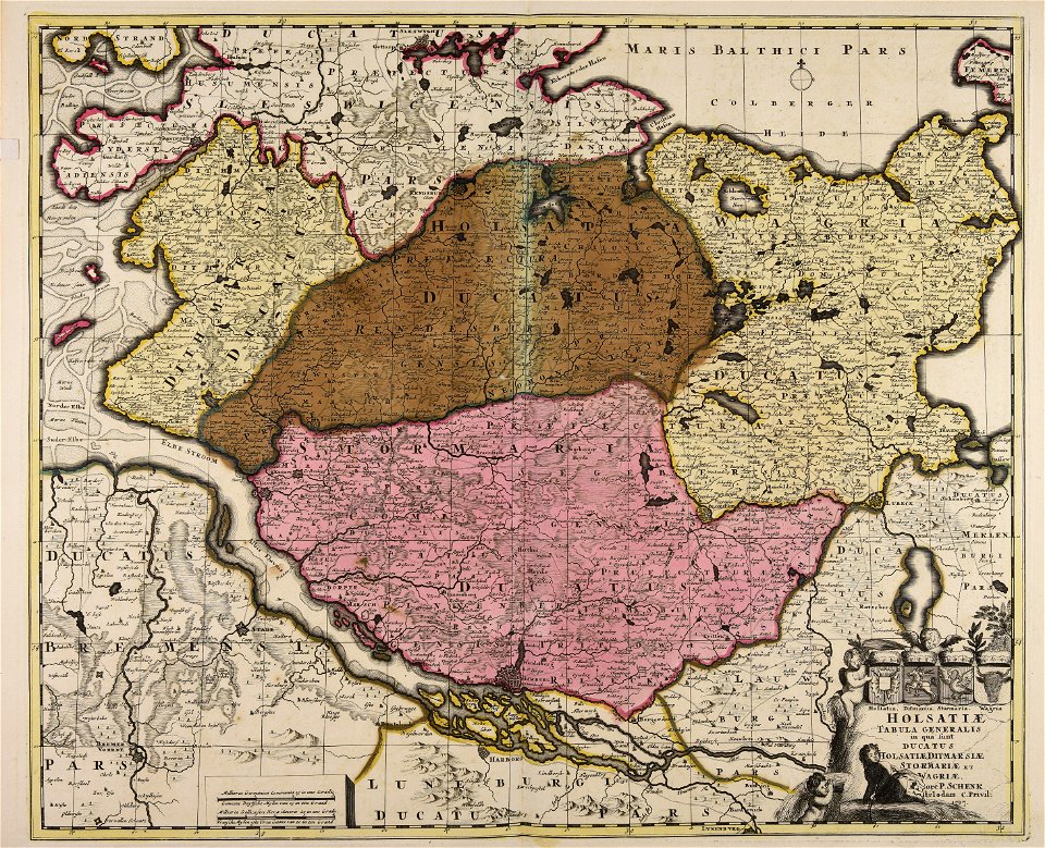
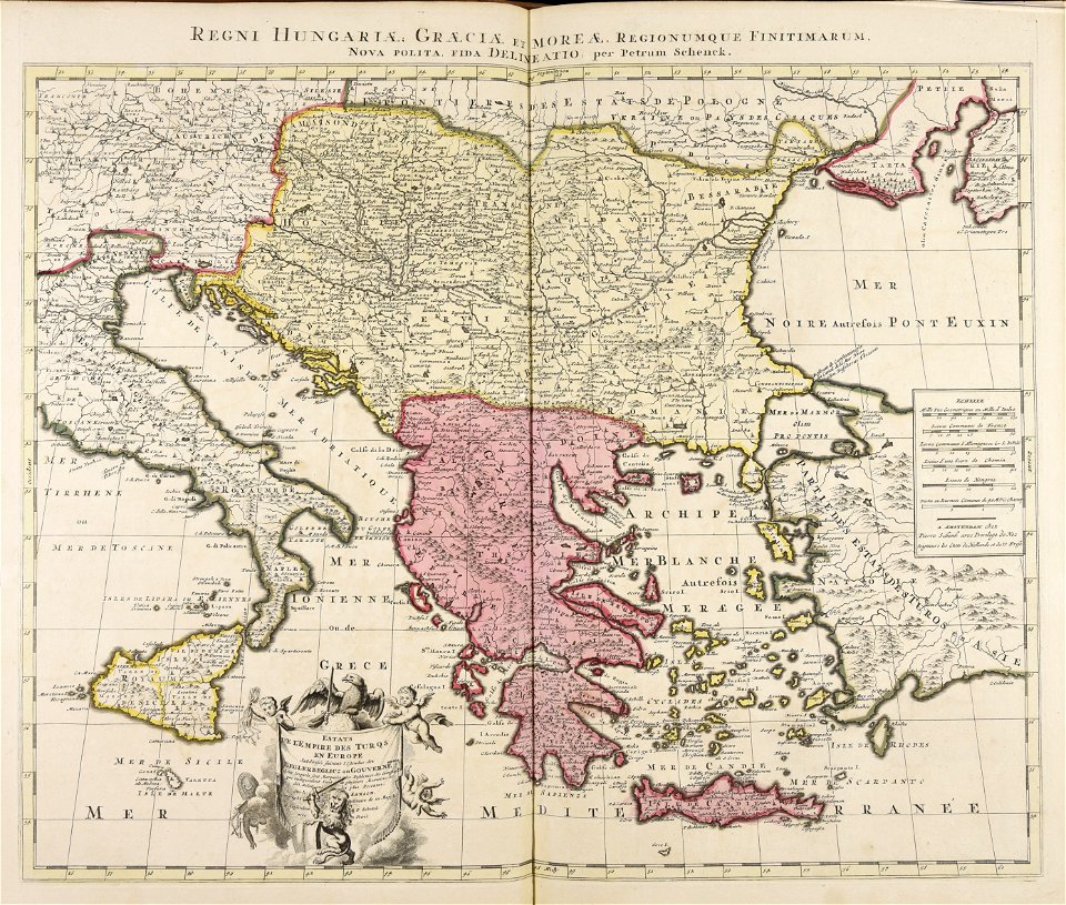
maps by pieter schenk (i)
maps made in the 17th century
nicolaes visscher ii
maps made in the 18th century
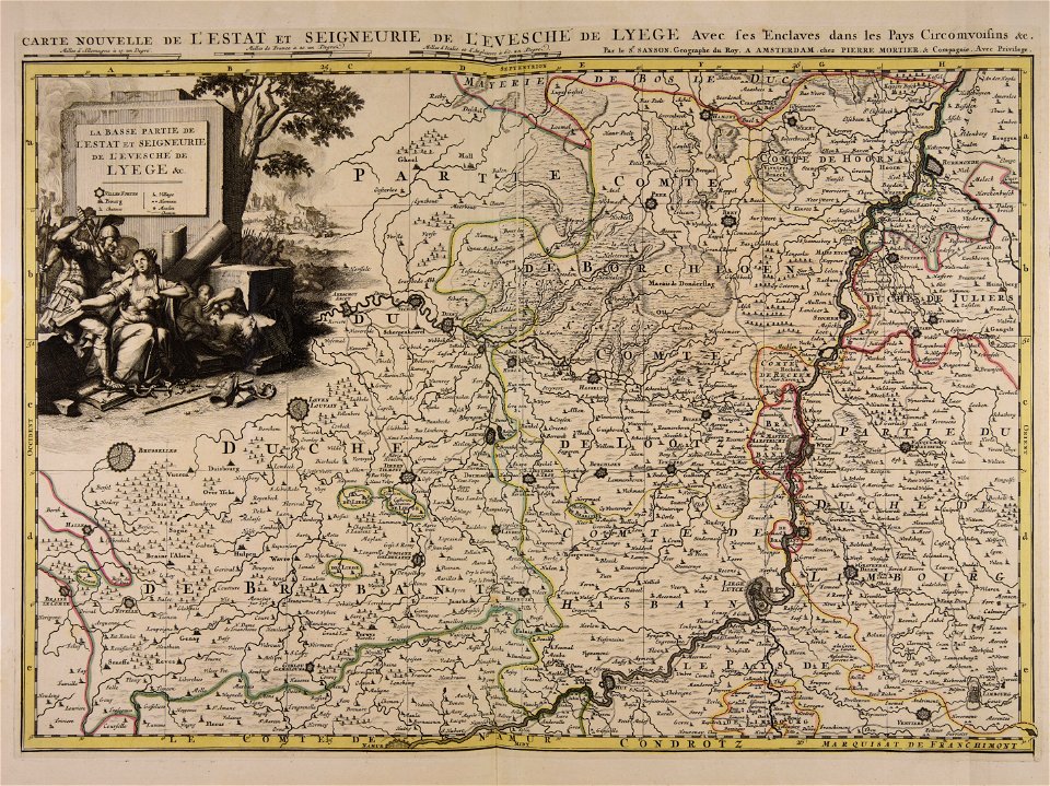
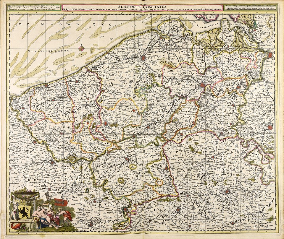
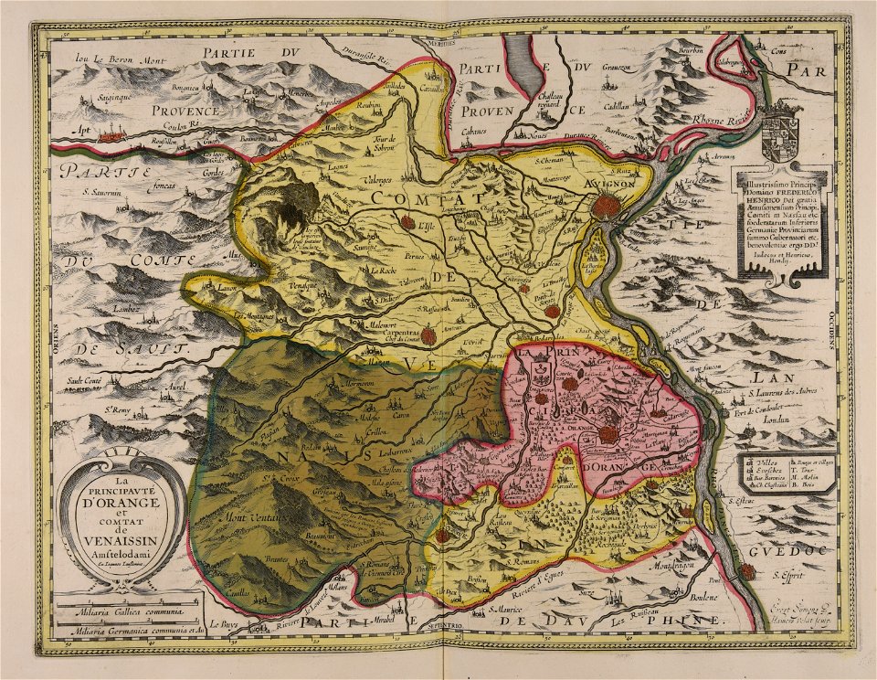
belgio
atlantis magni tomus secundus (biblioteca comunale di trento)
maps made in the 17th century
maps made in the 17th century
nicolaes visscher ii
atlantis magni tomus quintus (biblioteca comunale di trento)
maps made in the 17th century
maps made in the 17th century
jan janssonius
maps made in the 17th century
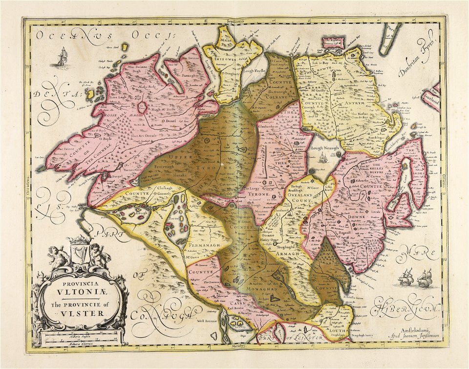
ulster
maps made in the 17th century
jan janssonius
maps made in the 17th century
jan janssonius
atlantis magni tomus quintus (biblioteca comunale di trento)
maps made in the 17th century
maps made in the 17th century
jan janssonius
maps made in the 17th century
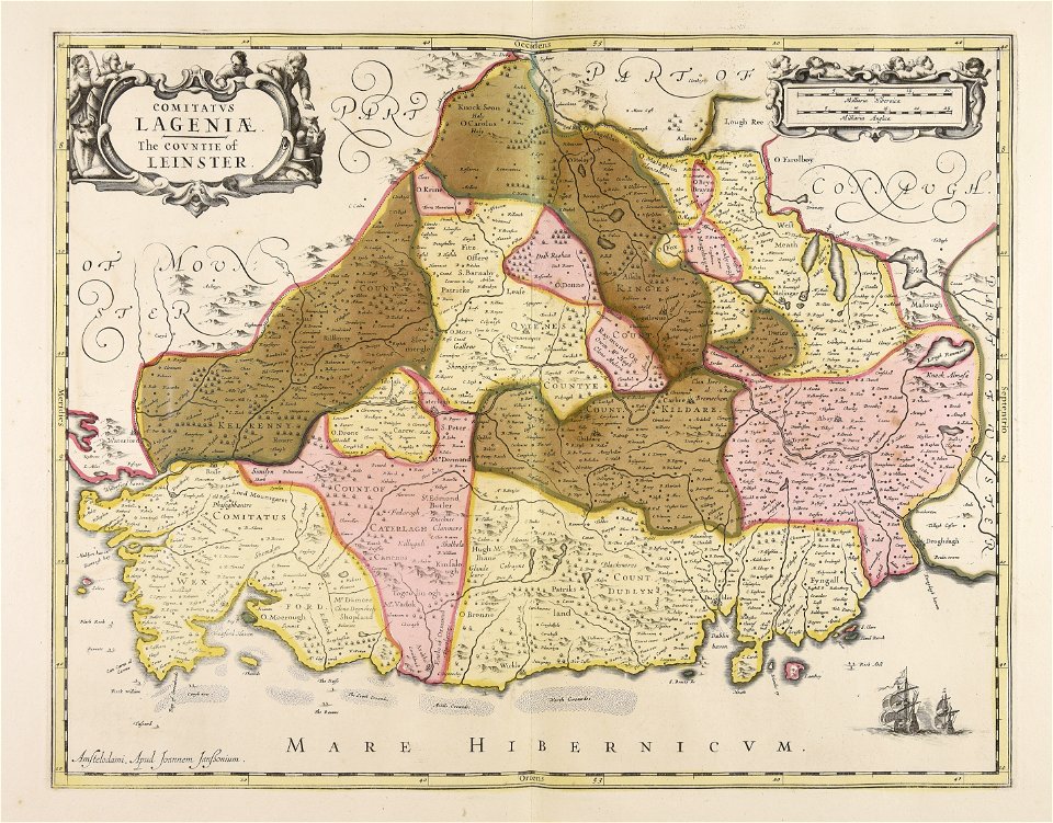
leinster
maps made in the 17th century
jan janssonius
atlantis magni tomus quintus (biblioteca comunale di trento)
maps made in the 18th century
atlantis magni tomus tertius (biblioteca comunale di trento)
17th-century maps of lower saxony
maps made in the 17th century
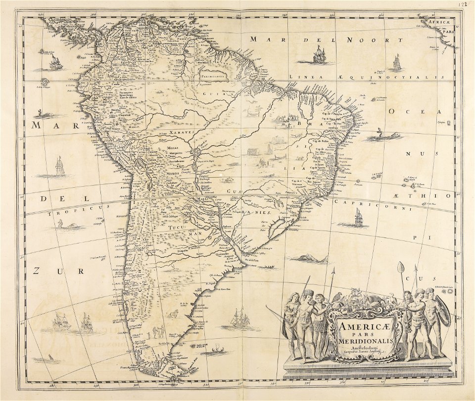
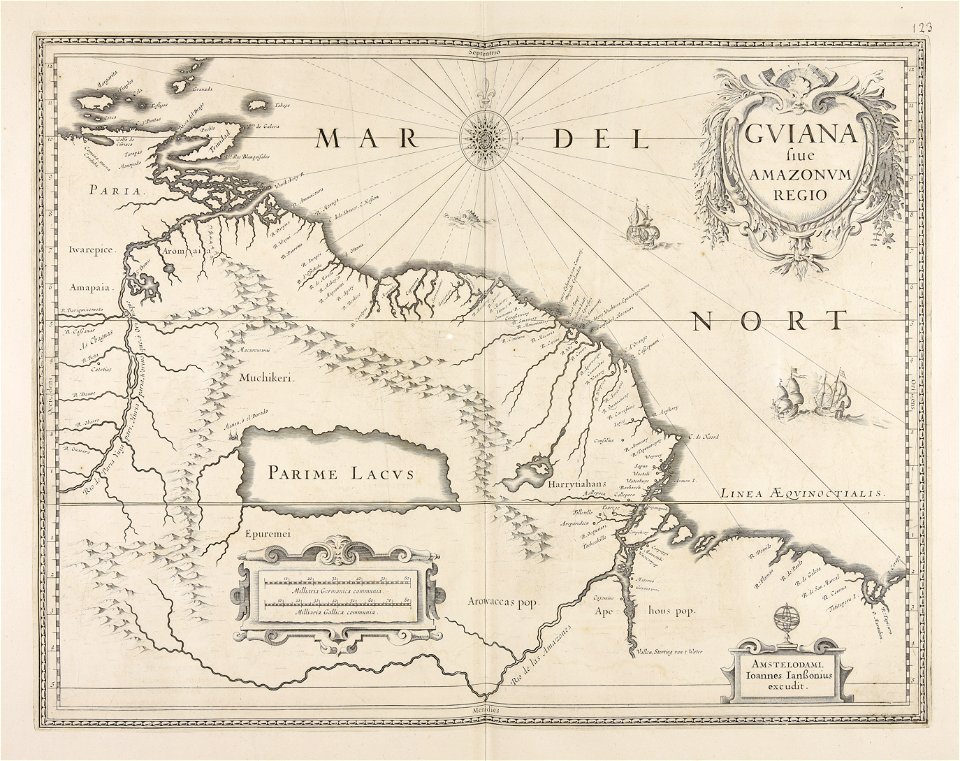
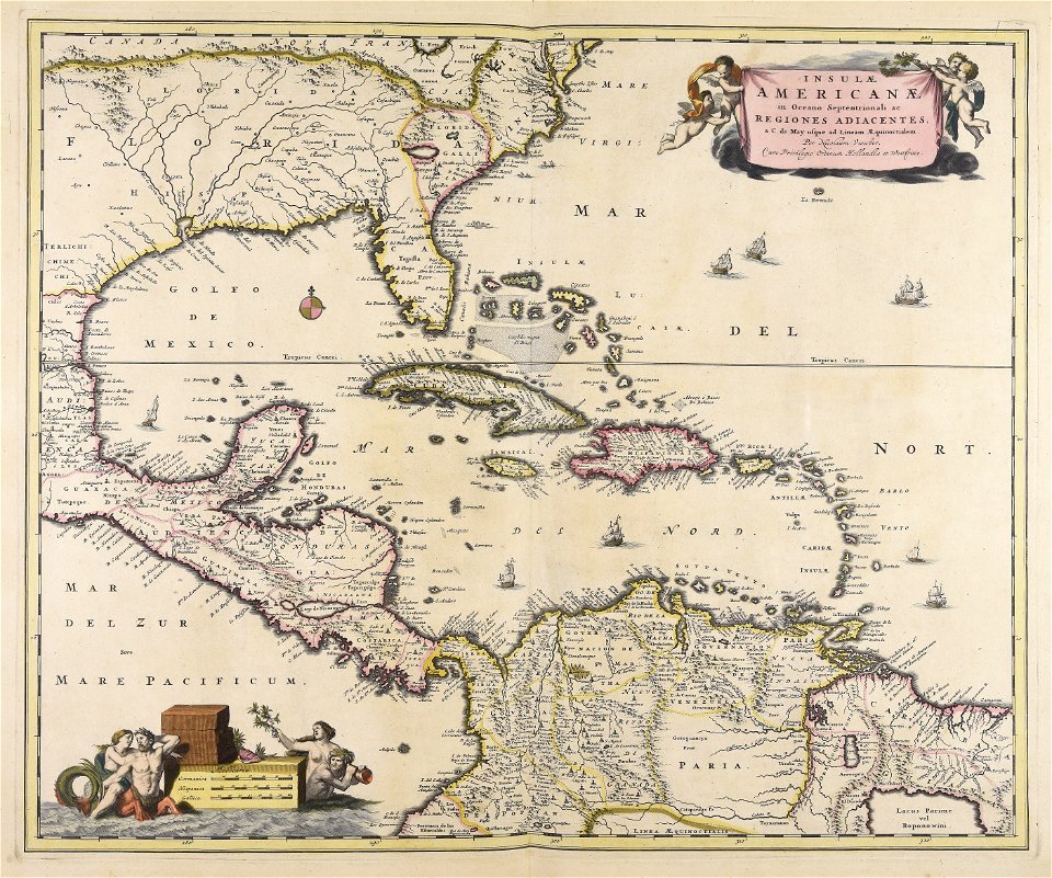
guiana
maps made in the 18th century
maps by pieter schenk (i)
maps made in the 18th century
maps by pieter schenk (i)
maps made in the 18th century
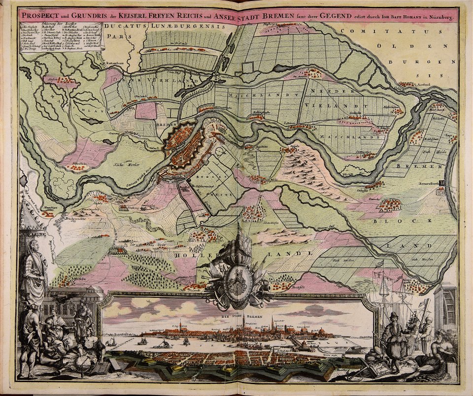
johann baptist homann
maps made in the 18th century
gerard valck
atlantis magni tomus tertius (biblioteca comunale di trento)
maps made in the 17th century
maps made in the 17th century
maps by nicolaes visscher i
maps made in the 17th century
cornelis danckerts (i)
maps made in the 17th century
cornelis danckerts (i)
johann baptist homann
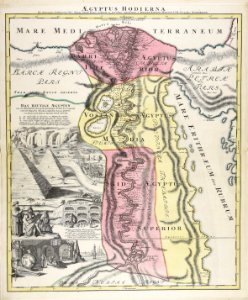
1720s maps of egypt
maps made in the 17th century
nicolaes visscher ii
maps made in the 17th century
nicolaes visscher ii
maps made in the 17th century
nicolaes visscher ii
maps made in the 17th century
nicolaes visscher ii
atlantis magni tomus quintus (biblioteca comunale di trento)
maps made in the 18th century
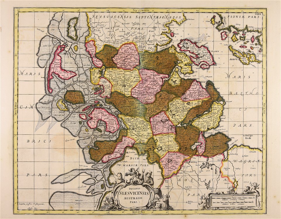
18th-century maps of schleswig-holstein
maps by pieter schenk (i)
maps made in the 18th century
johann baptist homann
maps made in the 18th century
johann baptist homann
maps made in the 18th century
johann baptist homann
maps made in the 18th century
johann baptist homann
maps made in the 18th century
johann baptist homann
maps made in the 18th century
johann baptist homann
nicolaes visscher ii
abraham goos
johann baptist homann
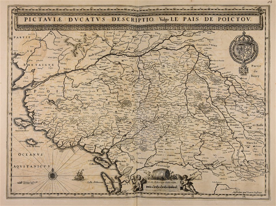
maps
maps made in the 17th century
cina
maps made in the 17th century
jan janssonius
maps made in the 17th century
frederick de wit
maps made in the 17th century
jan janssonius
atlantis magni tomus primus (biblioteca comunale di trento)
maps made in the 17th century
atlantis magni tomus primus (biblioteca comunale di trento)
maps made in the 17th century
maps made in the 18th century
maps by pieter schenk (i)
atlantis magni tomus quintus (biblioteca comunale di trento)
maps made in the 18th century
maps made in the 18th century
cornelis danckerts (i)
maps made in the 17th century
gerard valck
maps made in the 17th century
nicolaes visscher ii
atlantis magni tomus primus (biblioteca comunale di trento)
maps made in the 17th century
atlantis magni tomus primus (biblioteca comunale di trento)
maps made in the 17th century
maps made in the 17th century
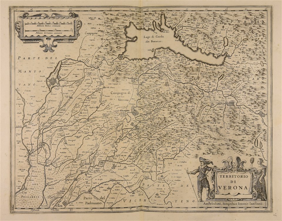
lake garda
maps made in the 17th century
nicolaes visscher ii
maps made in the 17th century
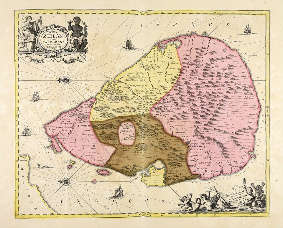
sri lanka
maps made in the 17th century
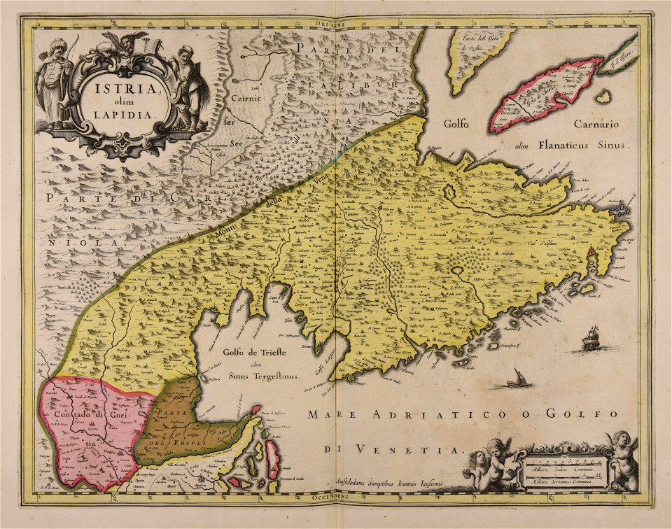
istria
maps made in the 17th century
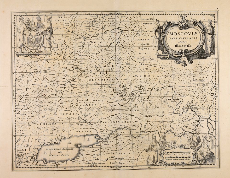
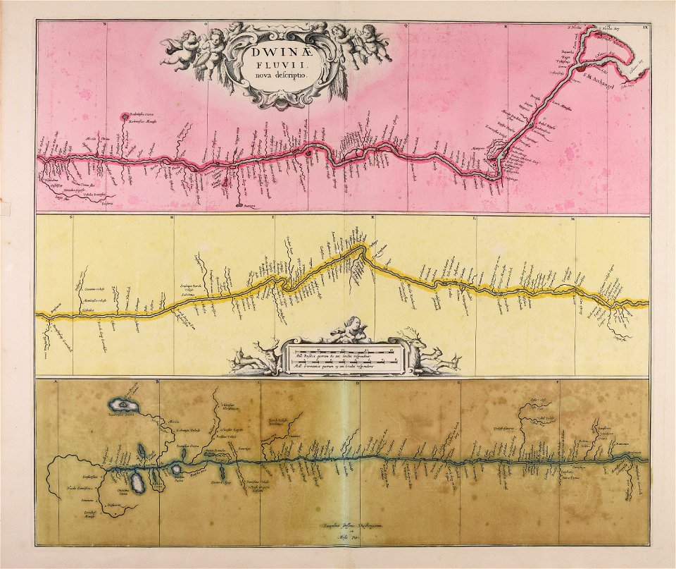
severnaya dvina river
maps made in the 17th century
nicolaes visscher ii
hatched coats of arms
old maps of ireland
johann baptist homann
sistema solar
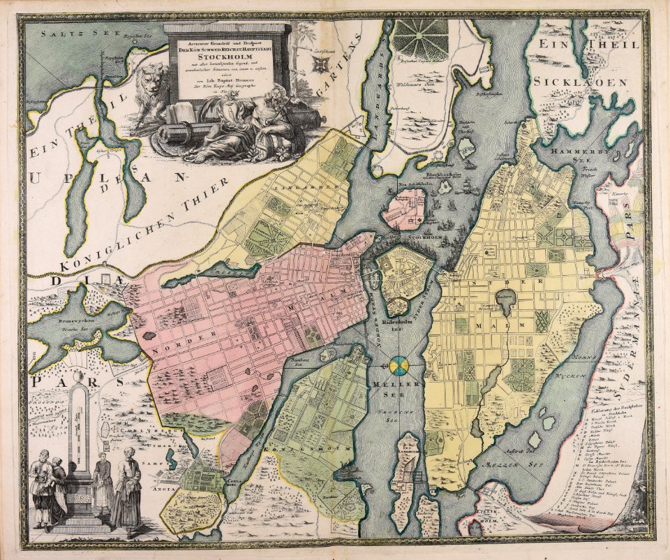
18th-century maps of stockholm
johann baptist homann
maps made in the 17th century
guillaume sanson
maps made in the 17th century
guillaume sanson
maps made in the 17th century
guillaume sanson
maps made in the 18th century
maps by pieter schenk (i)
johann baptist homann
1717
maps by pieter schenk (i)
gerard valck
atlantis magni tomus primus (biblioteca comunale di trento)
maps made in the 17th century
maps made in the 17th century
finlandia
atlantis magni tomus secundus (biblioteca comunale di trento)
maps made in the 17th century
maps made in the 17th century
jan janssonius
maps showing history
corfu
maps showing history
corfu
maps made in the 18th century
johann baptist homann
maps made in the 17th century
johann christoph steinberger
maps made in the 17th century
nicolaes visscher ii
johann baptist homann
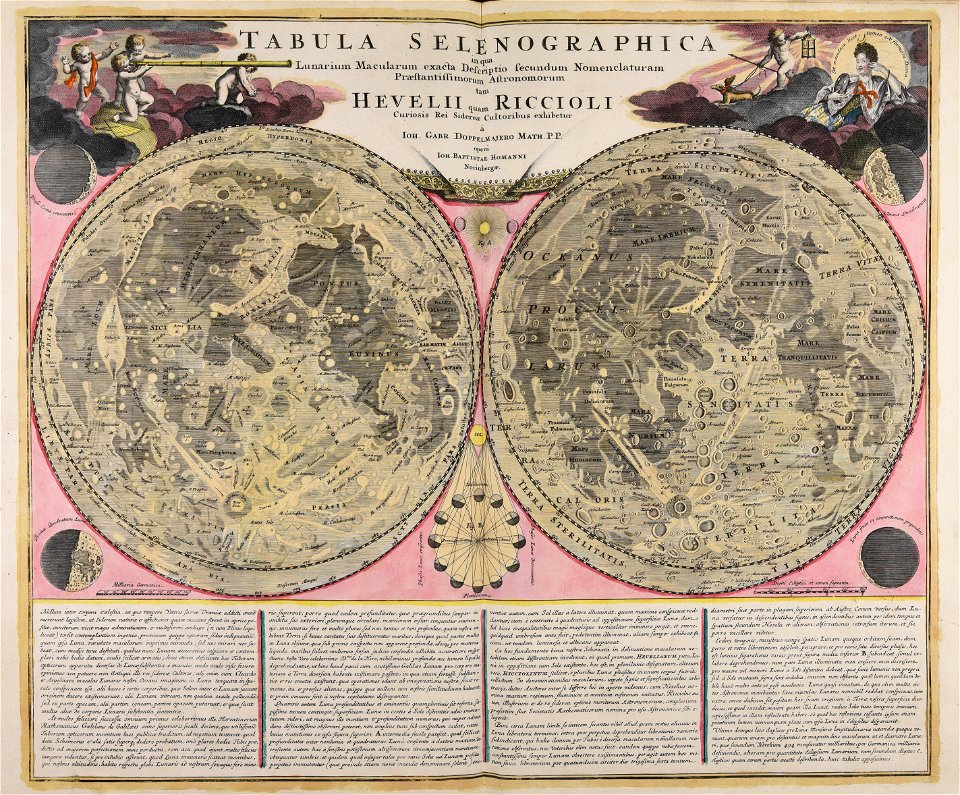
moon
maps made in the 17th century
nicolaes visscher ii
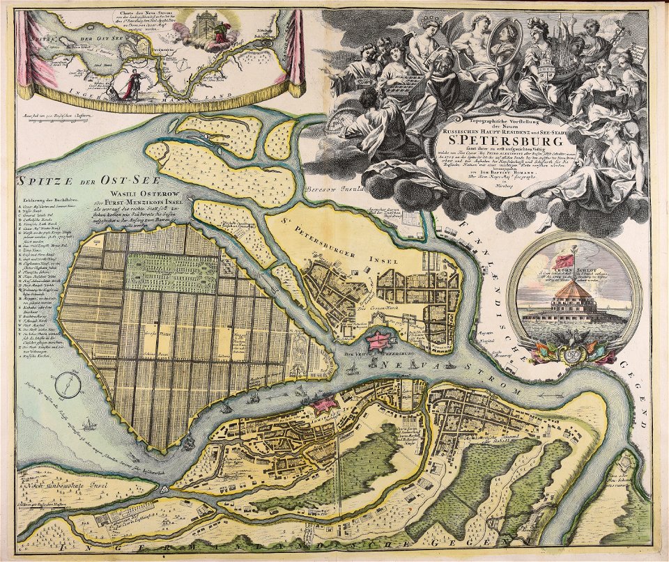
homann map st petersburg ab1720
johann baptist homann
18th-century maps of stockholm
veduta
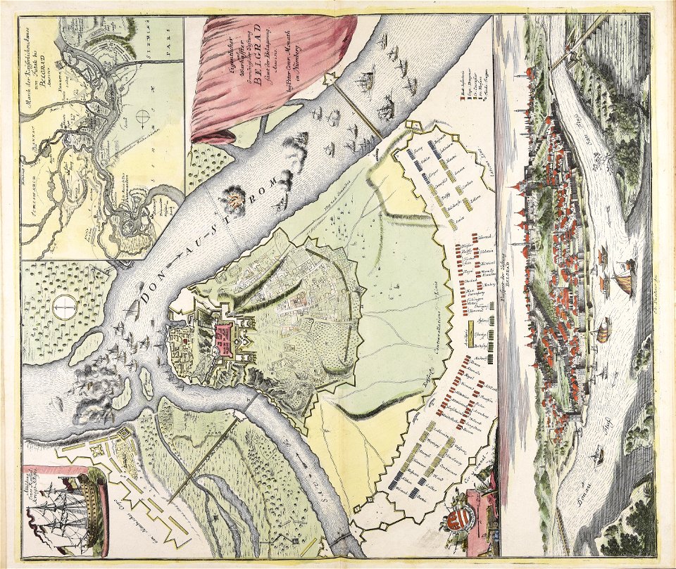
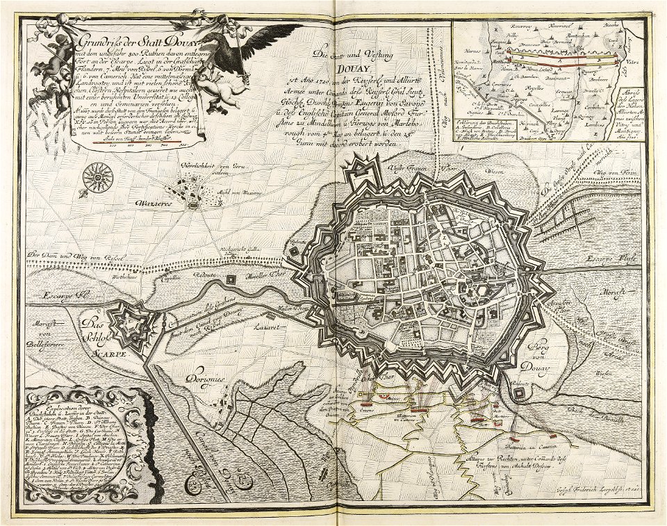
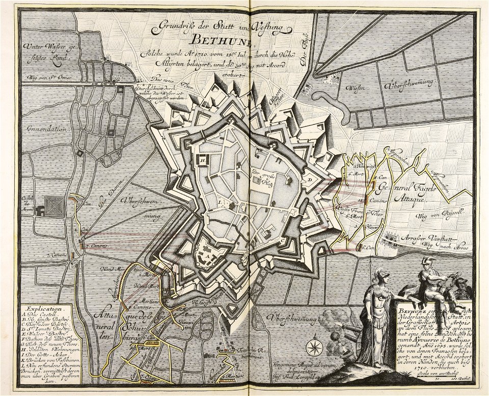
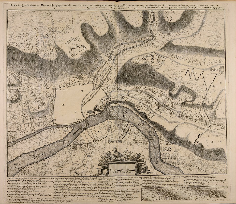
war of the spanish succession
1710
old maps of béthune
1710
maps made in the 17th century
jan janssonius
atlantis magni tomus secundus (biblioteca comunale di trento)
maps made in the 17th century
maps made in the 17th century
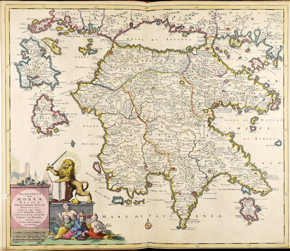
peloponnese
maps made in the 17th century
stormarn
maps made in the 17th century
jan janssonius
maps made in the 17th century
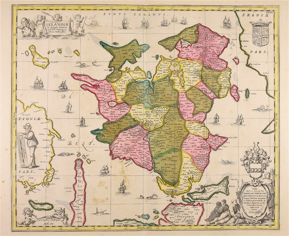
funen
maps made in the 17th century
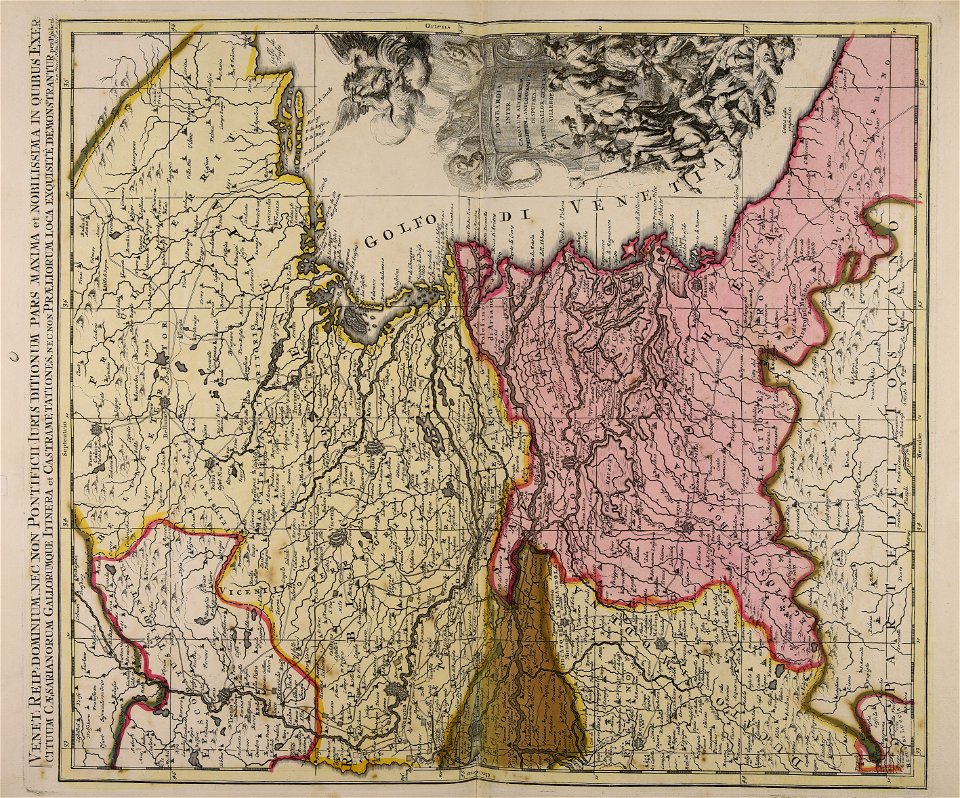
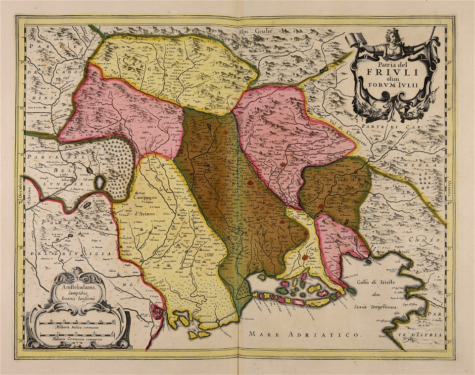
friuli-venezia giulia
atlantis magni tomus quintus (biblioteca comunale di trento)
maps made in the 17th century
maps made in the 17th century
cornelis danckerts (i)
maps made in the 17th century
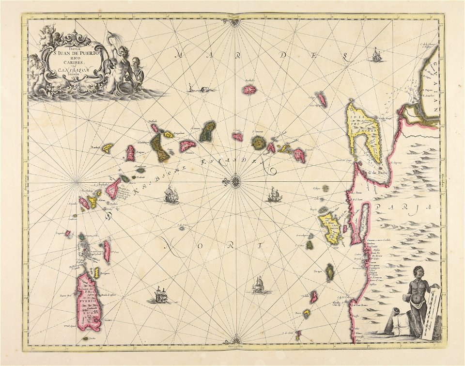
caraibi
maps made in the 17th century
nicolaes visscher ii
atlantis magni tomus quartus (biblioteca comunale di trento)
maps made in the 17th century
maps made in the 18th century
johann baptist homann
maps made in the 18th century
1705
maps made in the 17th century
jan janssonius
maps made in the 17th century
jan janssonius
topographic maps made in 18th century
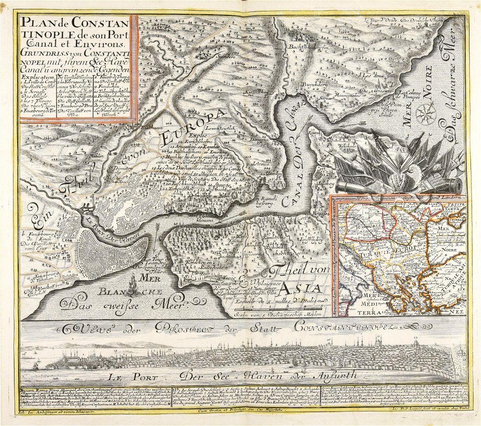
constantinople
atlantis magni tomus quartus (biblioteca comunale di trento)
jan janssonius
201 - 300 of 461
Next page
/ 5